Kazarma/Arkadiko
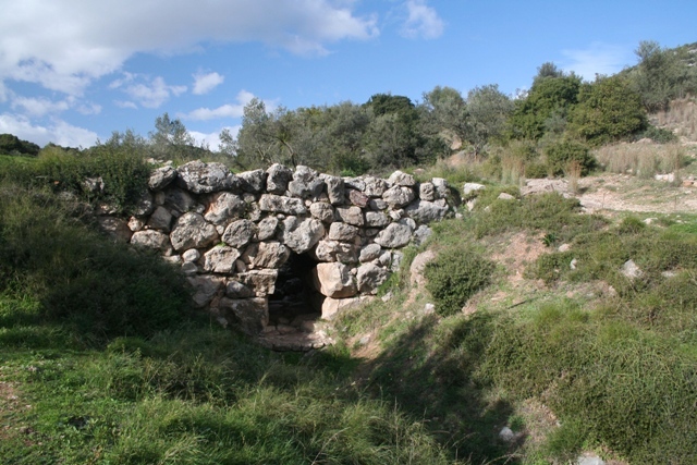 KAZARMA / ARKADIKO - Distance from Ermioni: 65km / 1hour
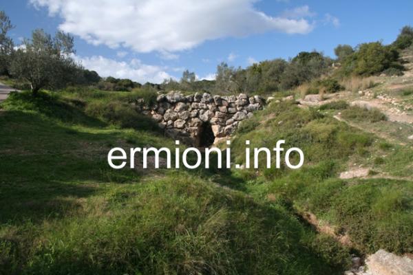
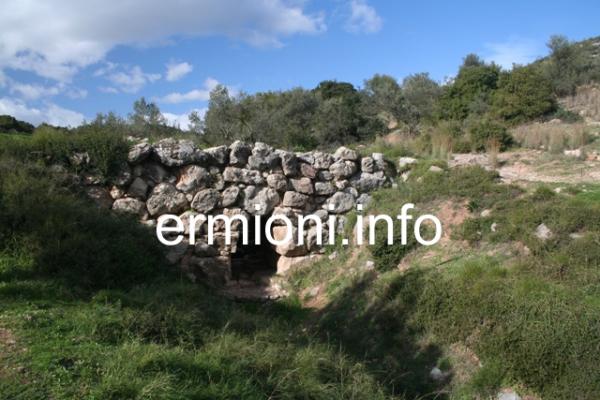
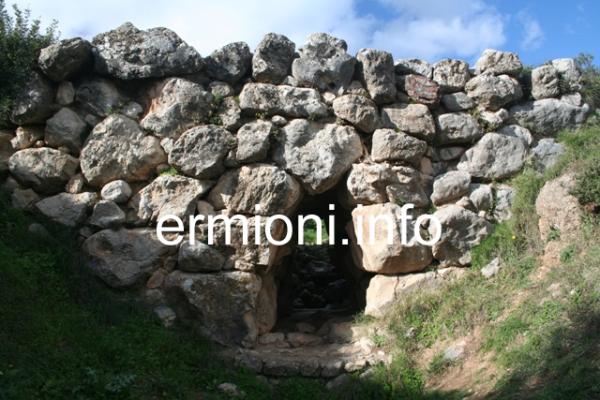
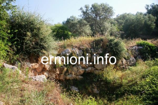
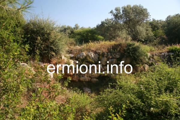
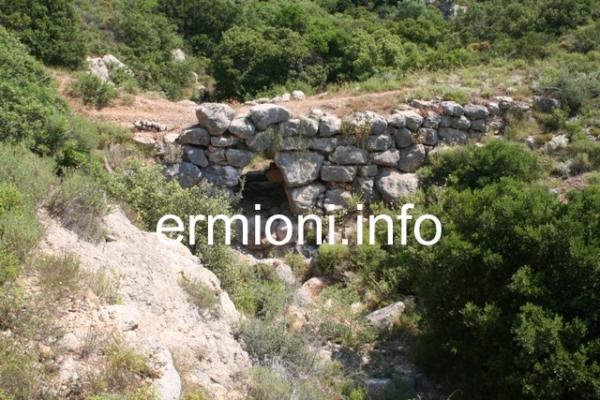
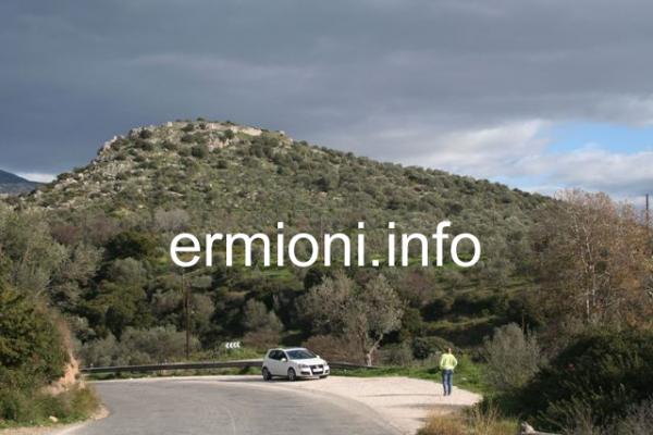
Bridge of Kazarma (Arkadiko Bridge) - The central Mycenaean bridge of Kazarma, near the village of Arkadiko, is an ancient bridge at the side of the old country road between Epidavros and Nafplio. There is a small lay-by on this country road where you can stop, and cross the road to walk about 35m over to the stone bridge. Dating back to the Greek Bronze Age, 1250 BC, it is the oldest arched bridge that still exits in use today. From the lay-by you can also see the Acropolis of Kazarma on the crest of the hill, looking towards Epidavros. The Kazarma Bridge is one of three Mycenaean corbel arched bridges near to today's village of Arkadiko. They all belonged to the same Bronze Age highway, which formed part of a military and trade road network from Tiryns and Nafplio towards Epidavros, all three bridges are of similar age and design.
The Bridge of Kazarma, also known as the Arkadiko bridge, measures 22m in length, 4m in height, with a road width of about 2.5m.
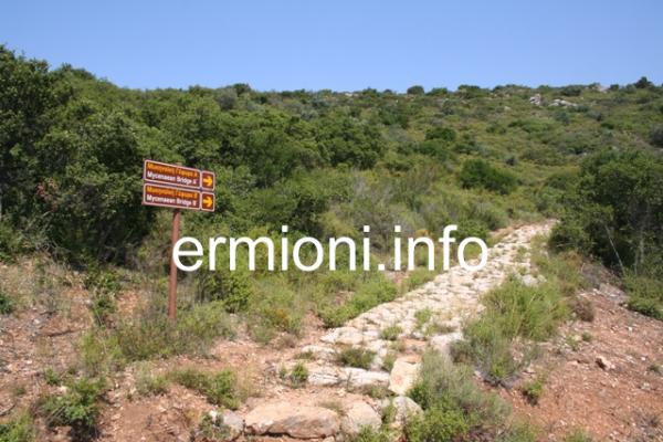
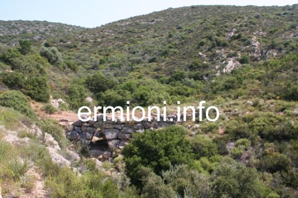
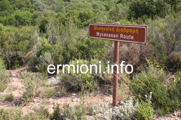
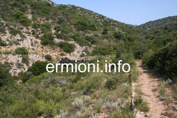
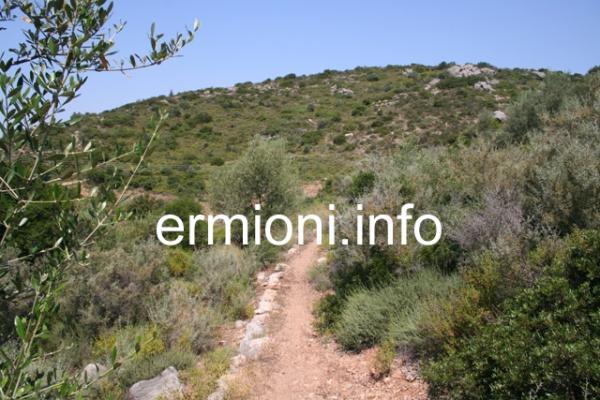
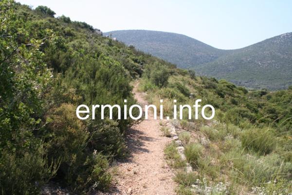
Another of these three Mycenaean bridges is the Petrogephyri bridge, which crosses the same stream 1km to the West of the main Kazarma (Arkadiko) bridge. Otherwise similar in size and appearance, the structure has a larger span and a little higher vault. It too, is still used as a local track, although this bridge is set back from the main road (see the Picture Gallery below). From the Petrogephyri bridge there is an ancient pathway, called the Mycenaean Route, that takes you along a well-beaten winding track towards the main central Kazarma bridge (above) and the Acropolis to the East. The Mycenaean Route was just part of the large Late Bronze Age highway network focused on Mycenae, linking Corinth, Argos, Tiryns, Nafplio, Epidavros, Troezen and Hermione.
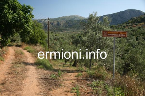
It is remarkable that the present modern country road is situated only metres away from the original Mycenaean highway, used by travellers over 3,300 years ago. Indications are that this route originated as an older footpath, later upgraded into a formal road. This highway may also have begun at the ancient port of Nafplio, not directly at Tiryns, linking harbours on the Argolic and Saronic gulfs. Today, all three of these Mycenaean bridges and the Mycenaean Route are clearly signed, however, please note that the Eastern bridge and the Western bridge are set back from the present new main road. A fourth well-preserved Mycenaean bridge is located in the region of Lykotroupi, part of another Mycenaean main road between Mycenae and Corinth. This fourth road features kerbs, meant for guiding reasonably fast moving chariots and trade carts. Recent studies and findings carried out in 2025 reinforce the idea that all these Mycenaean roads were part of a coordinated transport system linking Bronze Age palaces, ports and regional centres. These ancient routes supported trade, communication and political control across the whole Peloponnese region.
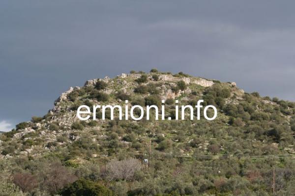
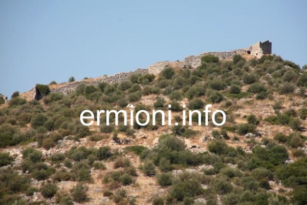
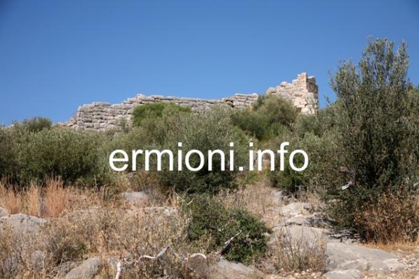
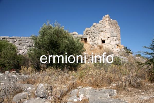
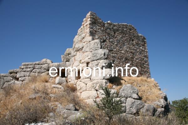
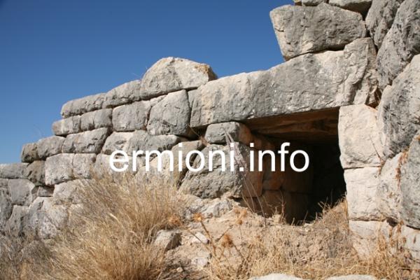
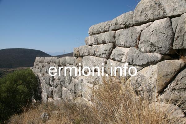
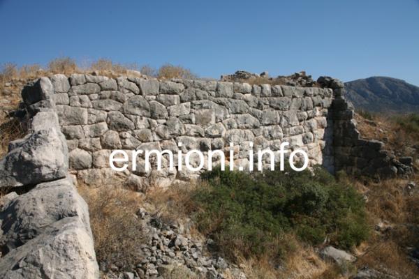
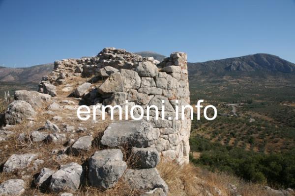
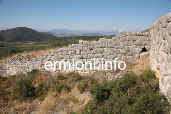
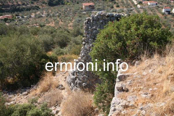
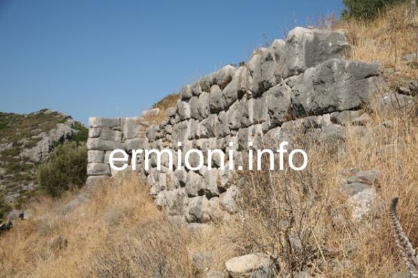
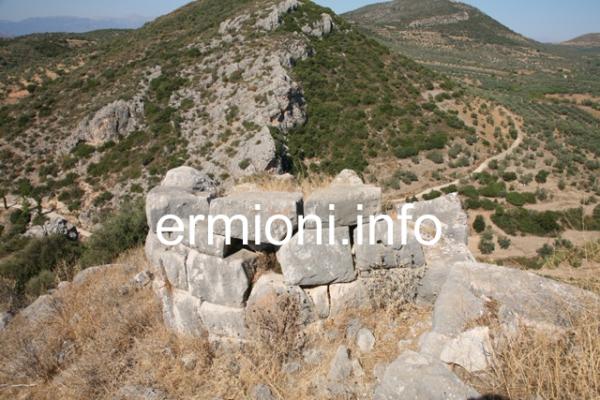
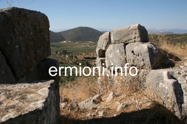
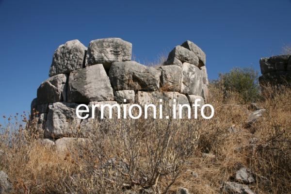
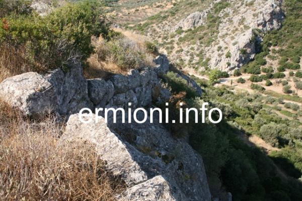
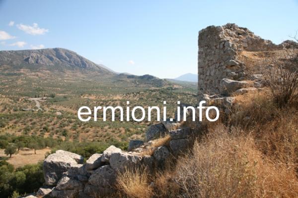
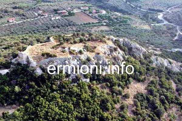
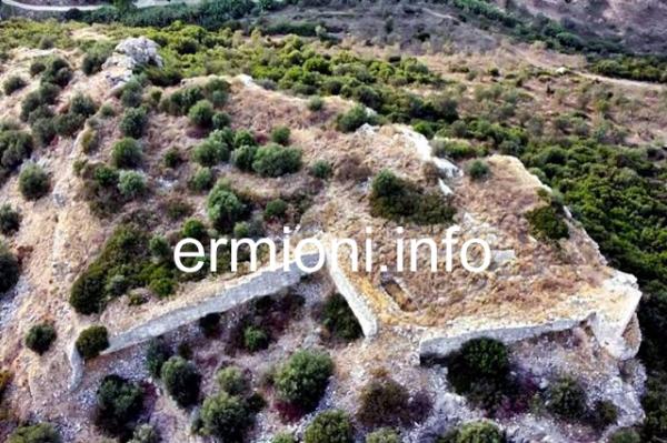
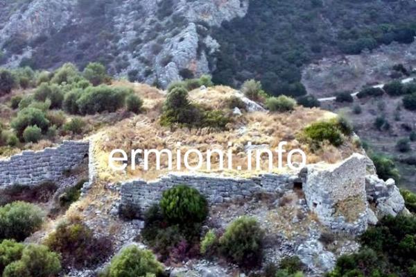
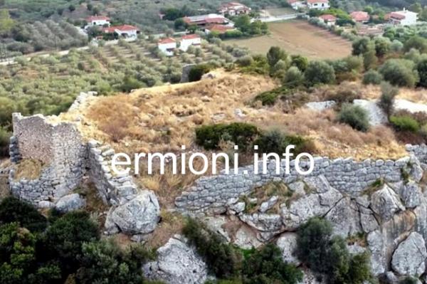
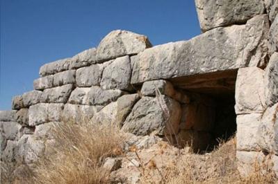 Acropolis of Kazarma (Arkadiko) is located on the crest of the hill far above the main central Mycenaean bridge at Kazarma. Originally a Late Bronze Age outpost protecting travellers, the acropolis citadel was further fortified by the Argives in the 4th century BC, and later occupied and developed by the Greco-Roman Byzantines, Frankish Crusaders and Venetians. The acropolis citadel perimeter is multi-sided and originally included four circular towers (only part of three remain) with Polygonal walls over 5m high and 2.5m thick. The two remaining Eastern towers have been damaged either by warfare or earthquake. The top tower had repairs carried out using much smaller stones and bricks, probably during the Eastern Roman period. To the left of the top tower is a typical Mycenaean style stone main entrance (right) facing Epidavros. The impresive stone defences were mostly built on the Eastern-Southern-Western side of the acropolis, as the Northern side is sheer rock-face with just a few stone blocks along the ridge. The smaller postern gate entrance, on the Tiryns side of the acropolis, is similar in design to the much larger Lion Gate entrance at Mycenae, with a small bastion tower protecting the Western gate entrance, facing the central Kazarma (Arkadiko) stone bridge, 0.5km below.
The Acropolis of Kazarma was originally known as Ancient Lissa during the Mycenaean, Classical and Hellenistic periods. The settlement was listed as being called Xerokastelli during the 14th century, and Sero Castellia during the 15th century, by which time it was noted as being destroyed. The Acropolis is approximately 4,000 sqm in size, with its polygonal stone perimeter being 275m.
'Kazarma' originates from its Venetian name Casa di Arma, meaning military fortress or barracks, and was the late Medieval name of the Acropolis and nearby settlement. At the start of the 13th century, with the beginning of the Frankish period, Kazarma belonged to Otto de La Roche, Duke of Athens. From the late 14th century, the fortress was under the control of the Byzantines of Mystras, until the region was conquered and occupied by the Ottomans in 1458. The Acropolis has not been officially excavated.
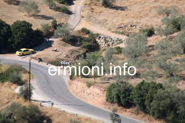
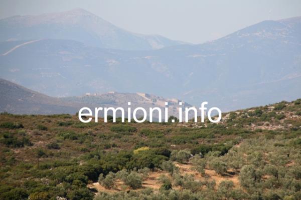
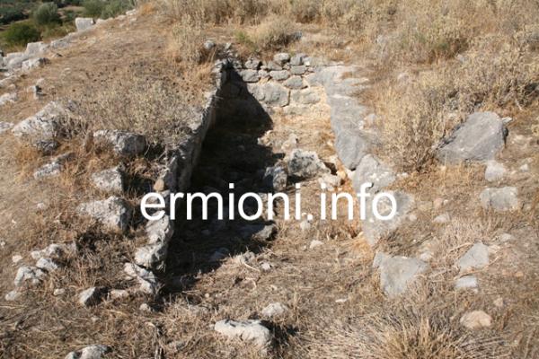
A road sign shows the direction to the acropolis from the old Arkadiko country road between Epidavros and Nafplio. After turning off the country road, turn left onto a small dirt track after approximately 250 metres. You can drive about a third of the way up on a beaten dirt track, the second third continues over small rough stones, and the final third will have to be covered by foot over large rough stones. Look for the plastic tape that marks the easiest route to the top. On approaching the Kazarma Acropolis you will see the large Cyclopean stones that surround most of the acropolis, with later fortifications built by various occupiers over the ages. Inside the citadel, there are assorted ruins ranging from vaulted chambers, stairways and vaults to basic stone wells. There were two entrance gates to the acropolis, from opposite sides of the citadel, but you can easily enter over the fallen section of the wall, to the left of the main Eastern entrance gate (above) facing Epidavros. There are wonderful panoramic views of the surrounding countryside and hills from the crest of this citadel, including the large Venetian Palamidi fortress of Nafplio, 13kms in the distance.
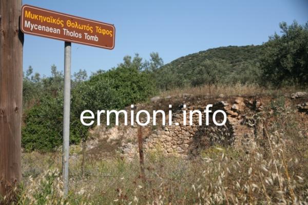
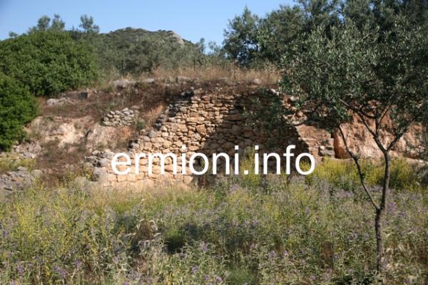
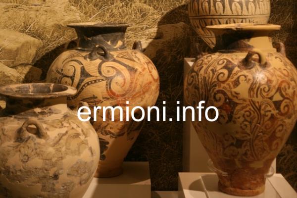
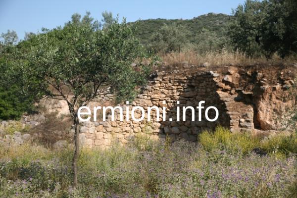
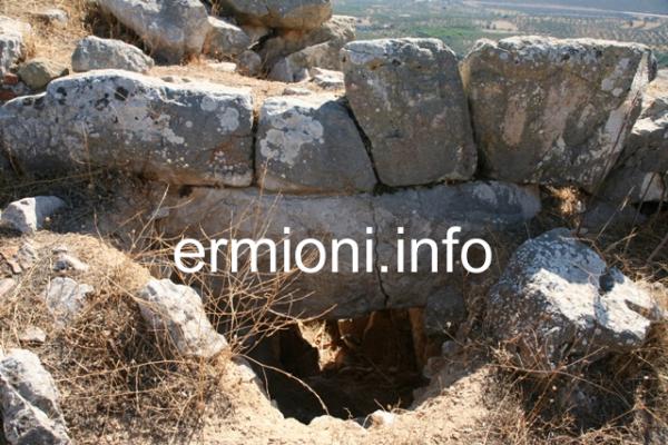
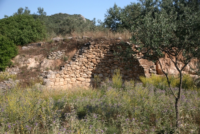 The Tholos Tomb near Kazarma is a sectioned burial tomb, close to the small village of Arkadiko. Tholos, or beehive, tombs are typical Mycenaean burial chambers and many can be seen intact around ancient Mycenae. The many finds from this tomb near Kazarma, particularly ancient pottery urns, are now on display in the Archaeological Museum of the Peloponnese, in Nafplio. The tomb is situated alongside the old country road between Epidavros and Nafplio. The Tholos tomb is set back approximately 15 metres from the road, and directly below the Kazarma Acropolis, which can be seen on the crest of the hill behind the Tholos. The area in front of the tomb is fenced off and the gate is usually locked, restricting direct access. To view the Tholos Tomb, the Acropolis and the Mycenaean Bridge(s) you will have to take the old winding country road West from Ligourio towards the historic city of Nafplio. Direction signs visible from the road.
Location
Kazarma Mycenaean Bridge
Greece
37° 35' 37.608" N, 22° 56' 15.234" E
Picture Gallery